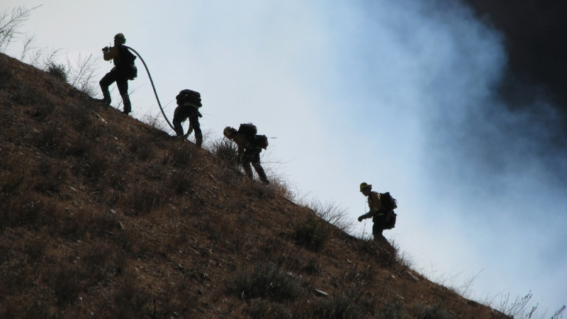
As intense wildfires have become a more serious issue in the last few years worldwide – causing billions of dollars in damage in the western U.S. alone – firefighting teams need a better solution to mitigate and better understand the cause of the spreading conflagrations.
NVIDIA and Lockheed Martin have teamed up with the U.S. Department of Agriculture Forest Service and Colorado Division of Fire Prevention & Control to build automated high-resolution fuel maps using artificial intelligence (AI) and digital-twin simulation as a key step in finding solutions to the problem.
Previous fuel maps were found to be ineffective in mitigating the spread of wildfires. That’s because these maps were largely dependent on Landsat data which has a low resolution, but also because the maps are only updated every two to three years, don’t provide a real-time picture of the situation, and require manual updates and inputs.
“We are trying to develop an automated method for producing up-to-date, high-resolution fuel maps,” said Lydia Carroll, an AI research engineer at Lockheed Martin, during NVIDIA’s GTC Conference on March 23.
“The way we’re going about this is we’re classifying Sentinel-2 images into fuel classes and we’re including fuel properties by combining Sentinel-2’s hyperspectral imagery with additional satellite sources,” Carroll said.
“Our short-term goal was to improve properties mappings and classification from satellite data and incorporate additional fuel properties to reduce workload,” said Jacob Sprague, an AI Software & Systems Architect at Lockheed Martin. The end goal is delivering fuel maps at a monthly rate – instead of updates taking years – and ultimately delivering them every five days, he added.
The researchers also will use NVIDIA AI infrastructure and the NVIDIA Omniverse advanced visualization and virtual world simulation platform to process a fire’s magnitude and forecast its progress. By recreating the fire in a physically accurate digital twin, the system will be able to suggest the best actions to suppress the blaze.
“Quality up-to-date fuel maps are critical to accurate predictions of fire behavior. Automating fuel mapping provides more up-to-date, accurate maps to firefighters,” Carroll said.
And in the future, the hope is to develop a user interface that identifies areas with outdated fuel data, construct interactive fuel map layers in Omniverse, and allow users to update fuel maps from fire crew observations on the ground.
“We’re trying to create a dynamic fuel environment simulation where these fire behavior analysts can do things like toggle different fuel layers,” said Sprague. “It allows users to add in manual observations and edit what perhaps satellites saw, increasing the fidelity of this product.”
